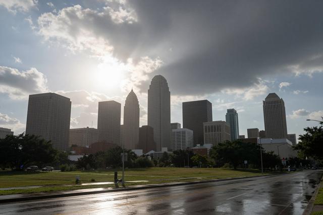
Houston will see mid‑90s temperatures on Monday, September 21, 2026, with a heat index climbing into the triple‑digit range and scattered showers expected in the afternoon. The forecast calls for high temperatures in the mid‑90s Fahrenheit, while humidity will push perceived temperatures well above 100 degrees, creating a challenging day for residents and outdoor workers.
Meteorologists anticipate that the heat will dominate the morning and early afternoon, with brief, scattered thunderstorms developing later in the day. These storms are typical of Houston’s summer pattern, providing short periods of relief before temperatures climb again after the rain passes. The showers are expected to be isolated rather than widespread, so many parts of the city may experience only brief interruptions.
The combination of high heat and humidity is common for the region during this time of year. Summer in Houston often brings intense sunlight, elevated heat indexes, and brief, convective storms that form in the afternoon as the atmosphere heats up. While the upcoming Monday follows that familiar rhythm, the triple‑digit heat index signals a particularly oppressive feel, especially for those without air‑conditioned shelter.
Local officials advise the public to stay hydrated, limit strenuous outdoor activity during the peak heat hours, and seek shade or air‑conditioned environments when possible. Those commuting should be prepared for potential traffic slowdowns caused by the scattered thunderstorms, as brief downpours can reduce visibility and slick road surfaces.
Overall, the day’s weather aligns with the typical summer outlook for Houston: high heat, high humidity, and intermittent afternoon storms that offer only temporary respite. Residents are encouraged to monitor updates from the National Weather Service throughout the day for any changes in storm intensity or timing.