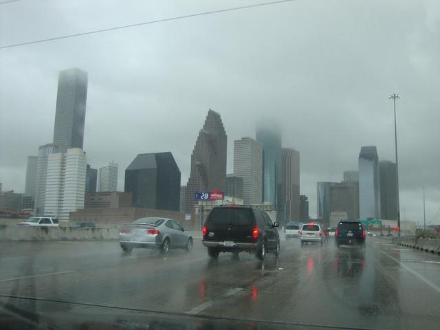
Houston saw scattered downpours move across the city on Thursday, September 17, 2026, as a tropical air mass pushed moisture into the Gulf Coast region. The brief rain showers arrived throughout the day, bringing temporary relief from the usual summer heat.
Meteorologists attribute the precipitation to a broad tropical moisture plume that has been drawn northward by prevailing winds. This air mass carries abundant water vapor, which condenses into showers as it encounters the inland terrain of the Houston area. The storms are expected to be isolated and short‑lived, affecting different neighborhoods at varying times.
Forecasters also note that the same tropical influence will begin to shift on Friday afternoon, September 18, 2026. As the moist air moves farther inland and higher pressure builds, humidity levels are projected to drop, creating a less muggy environment for residents. The anticipated change should make outdoor activities more comfortable compared with the damp conditions experienced today.
Overall, the pattern reflects a typical Gulf Coast weather cycle where tropical moisture arrives, produces intermittent rain, and then recedes, allowing a temporary easing of humidity. Residents can expect the showers to subside by the end of the day and look forward to a calmer, drier atmosphere as the weekend approaches.