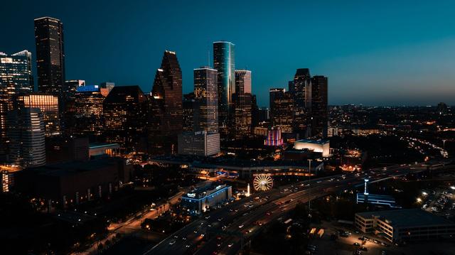
Southeast Texas will see a mix of scattered thunderstorms on Saturday, September 12, 2026, while temperatures climb sharply throughout the day. Meteorologists describe the storms as "hit-or-miss," meaning some areas may experience brief rain and lightning while others remain dry.
The weather system moving into the region is expected to generate isolated to scattered showers, primarily in the afternoon and early evening. The timing and intensity of the storms are uncertain, with forecasters noting that the precipitation could be brief and unevenly distributed across counties.
At the same time, high temperatures are projected to rise sharply, pushing the region into the upper summer heat range. Residents can anticipate a noticeable increase in warmth compared with the previous day, adding to the discomfort typically felt during the late summer season.
This forecast continues a familiar pattern of weekend thunderstorms that often affect Southeast Texas during the summer months. Historically, the area experiences brief, scattered storms on Saturdays as warm, moist air interacts with passing fronts. While the upcoming storms are expected to be intermittent, the combination of heat and potential lightning underscores the need for standard safety precautions, such as staying hydrated and seeking shelter during any heavy rain or thunder activity.
Overall, Saturday's weather will feature a blend of uncertain thunderstorms and a sharp rise in temperature, characteristic of the region's late‑summer climate. The mix of heat and brief storms serves as a reminder of the typical weather rhythm that Southeast Texas residents have come to expect during the summer weekend.