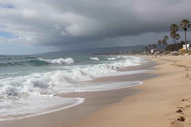
Two Pacific hurricanes are expected to move toward Southern California early next week, and officials warn that the storms could combine with unusually high tides to produce flooding and erosion along the region’s beaches. The potential overlap of the two cyclones with elevated tide levels may raise water heights enough to inundate low‑lying coastal zones and wear away sand on popular shorelines.
The forecast calls for both storms to approach the coastline within a short window, creating conditions where their combined effects could be more severe than either system alone. High tides, already higher than normal for this time of year, are projected to amplify the surge generated by the hurricanes, increasing the risk of water spilling onto beaches, boardwalks and nearby infrastructure.
Southern California rarely experiences direct impacts from Pacific hurricanes, making the situation notable for local emergency planners and residents. Historically, the area’s climate and ocean currents have limited the frequency of such storms, but when they do occur, the presence of high tides can intensify the potential for coastal flooding and shoreline loss. The current scenario underscores the importance of monitoring tide levels alongside storm tracks to assess the likelihood of water encroachment.
Coastal managers are advising the public to stay informed about tide charts and any updates to the hurricane forecasts. While no specific evacuation orders have been issued, the possibility of floodwater reaching beach access points and eroding sand dunes is prompting precautionary measures. Residents and visitors are encouraged to avoid low‑lying beach areas during the predicted peak tide periods.
The convergence of two tropical systems with high tides represents an uncommon but plausible threat to Southern California’s shoreline early next week. Authorities will continue to track the storms and provide guidance as the situation develops, aiming to mitigate any damage to coastal communities and natural beach environments.