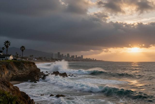
A tropical storm named Marie is tracking toward Southern California with the potential to strengthen into a hurricane as the Labor Day weekend approaches. Forecasts indicate the system could bring rain, strong winds and higher than normal surf to coastal areas from September 5 through September 7, 2026.
The timing coincides with the holiday weekend, raising concerns for beachgoers and residents who may encounter hazardous conditions on the shoreline. Elevated surf levels could affect swimming and surfing spots, while the expected wind and rainfall may lead to localized flooding and wind‑related disruptions.
Meteorological patterns this season are being shaped by an active El Niño phase, which is warming ocean waters along the Pacific coast. These warmer waters increase the likelihood that a tropical system such as Marie could maintain or gain strength as it moves northward. El Niño conditions are also contributing to a rise in overall tropical storm activity across the basin.
Southern California historically sees few direct impacts from tropical cyclones, making Marie’s approach an uncommon event for the region. The combination of an approaching storm, elevated sea temperatures and the holiday weekend creates a scenario that local authorities are monitoring closely.
Residents are advised to stay informed about the storm’s progress through official channels and to prepare for the possibility of rain, gusty winds and larger waves. Emergency services are expected to be on standby to respond to any incidents that may arise as the storm moves inland.
While the ultimate intensity of Marie remains uncertain, the convergence of an El Niño‑driven warm ocean environment and the storm’s projected path underscores the need for vigilance over the Labor Day period.
The situation will continue to be updated as new data become available, and communities are encouraged to keep abreast of any advisories that may be issued ahead of the weekend.