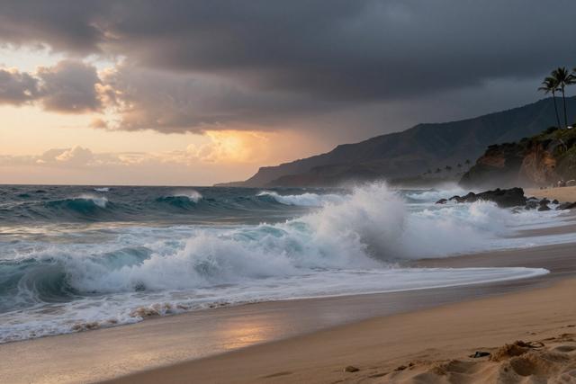
Two hurricanes currently tracking across the Pacific Ocean are expected to generate higher surf along the coastlines of Hawaii and Southern California, according to meteorologists monitoring the systems on Sunday.
The forecast calls for both tropical cyclones to produce swells that will reach the islands of Hawaii and the southern portion of the California shoreline later today. Weather specialists said the combined effect of the two storms is creating a pattern of elevated wave activity that could be noticeable on beaches throughout the affected regions.
Officials in both areas are aware of the developing conditions and are keeping a watch on surf levels. While no specific warnings have been issued, the presence of multiple tropical systems moving across the Pacific is a known factor that can increase wave heights and alter coastal water conditions. Residents and visitors are being advised to stay informed about local updates, especially those planning to engage in water‑related recreation.
The surf boost is expected to be most pronounced during the afternoon and early evening hours, as the swell energy from the hurricanes aligns with prevailing wind patterns. Coastal communities along the Hawaiian islands and the southern California coast, which include popular beach destinations, may see a temporary rise in wave size and strength.
Meteorologists emphasized that the situation is being closely tracked, with forecasts regularly updated as the storms progress. The focus remains on providing timely information to the public to help manage safety on the water and along the shoreline.
Overall, the simultaneous presence of two Pacific hurricanes is creating a notable, though short‑term, increase in surf conditions for the western United States and the Hawaiian archipelago, underscoring the broader impact of tropical activity on regional coastal environments.