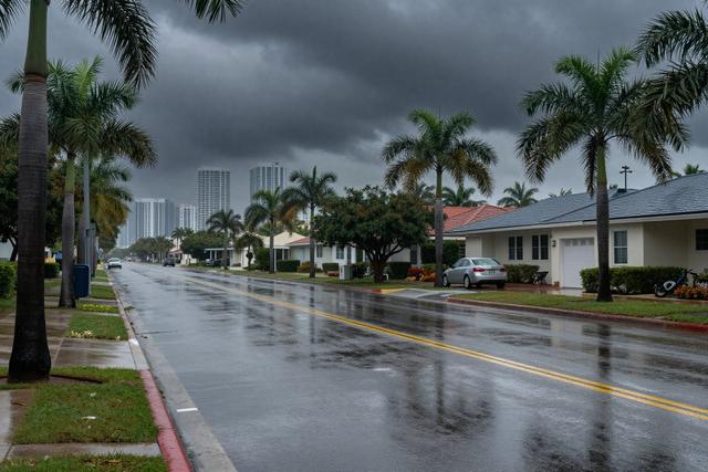
The National Weather Service has placed a flood advisory on Broward County, Florida, with the warning set to remain in force until 4:00 p.m. on September 18, 2026. The advisory follows forecasts of heavy, slow‑moving thunderstorms that are expected to produce excessive rainfall across the region.
Meteorologists anticipate that the storms, moving at a leisurely pace, will allow moisture to accumulate over the area. High atmospheric moisture combined with light wind conditions creates an environment where rain can fall intensively without dispersing quickly. This pattern raises the risk of localized flooding, prompting officials to alert residents and commuters.
The advisory was issued at approximately 1:30 p.m., giving the public a window of a few hours to prepare for potential impacts. Authorities advise motorists to exercise caution on roadways, as standing water can develop rapidly, especially in low‑lying sections and near drainage channels. Residents in flood‑prone neighborhoods are encouraged to monitor local updates and be ready to move to higher ground if water levels rise.
South Florida’s climate is characterized by frequent thunderstorms during the summer and early fall months, and Broward County is no exception. The region’s flat topography and proximity to the Atlantic Ocean often amplify the effects of intense rain events. When thunderstorms linger, as predicted in today’s outlook, the likelihood of street‑level flooding increases, even with only modest wind speeds.
The National Weather Service will continue to assess conditions throughout the afternoon. Should rainfall intensify beyond current projections, the advisory could be extended or upgraded. In the meantime, officials remind the public to stay informed through official channels and to avoid unnecessary travel through areas that may become inundated.
By issuing the advisory, the Weather Service aims to reduce the risk of property damage and ensure public safety as Broward County navigates the expected bout of heavy rain.