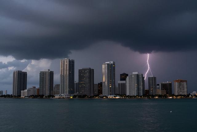
Showers and thunderstorms are slated to move across South Florida on Saturday afternoon, September 12, 2026, and again on Sunday afternoon, September 13, 2026. Meteorologists have highlighted the likelihood of multiple rain bands developing over the region during those periods, creating a wet and potentially disruptive weekend for residents and visitors.
The forecast calls for scattered showers to begin in the early afternoon on Saturday, intensifying into brief thunderstorms as the day progresses. A similar pattern is expected to repeat on Sunday, with rain and thunderstorm activity picking up again in the afternoon hours. The timing suggests that the most significant weather will occur after the typical midday heat, though the exact start and end times may vary across the coastal and inland areas of South Florida.
Experts from the National Weather Service have described the upcoming conditions as a "soggy weekend," noting that the combination of moisture and atmospheric instability is conducive to frequent, though generally short-lived, storm cells. While the storms are not projected to bring extreme wind or hail, the persistent rain could lead to localized flooding, especially in low‑lying neighborhoods and areas prone to water accumulation.
Residents are advised to remain aware of the forecast and to plan outdoor activities accordingly. Those traveling by car should consider the possibility of reduced visibility and slick road surfaces during the afternoon thunderstorms. Outdoor events scheduled for the weekend may need to be adjusted or postponed in response to the anticipated weather.
Overall, the coming Saturday and Sunday are expected to be marked by recurring showers and thunderstorm activity throughout South Florida, making for a damp weekend that could affect daily routines and outdoor plans.