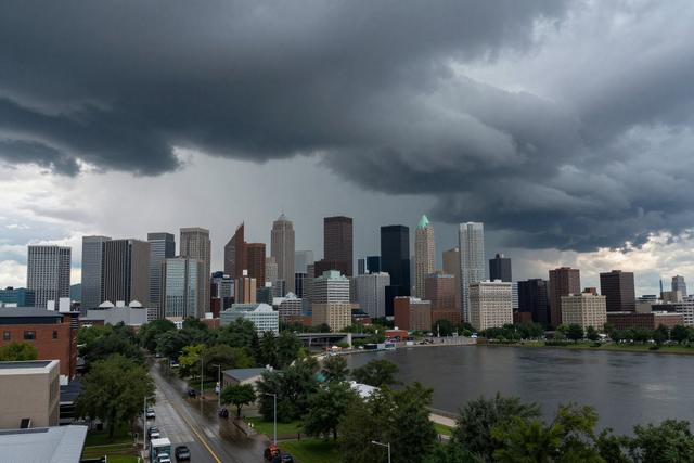
Environment Canada announced a severe thunderstorm watch for several regions of Quebec on July 1, 2026. The federal weather agency issued the alert as it identified atmospheric conditions that could develop into hazardous storms across the province.
A severe thunderstorm watch signals that the environment is conducive to the formation of intense weather, including strong winds, heavy rain, hail and the potential for lightning strikes. It differs from a warning, which is issued when such phenomena are already occurring or imminent. By issuing the watch, Environment Canada alerts residents, businesses and local authorities to stay alert and prepare for possible rapid changes in weather.
The agency continuously monitors atmospheric data, satellite imagery and radar returns to assess the likelihood of dangerous storms. When indicators such as elevated moisture levels, temperature contrasts and wind shear align, the organization evaluates the risk and may release a watch to give the public advance notice. In this case, the assessment concluded that several areas of Quebec could experience conditions meeting the criteria for severe thunderstorms.
Officials from Environment Canada advise people in the affected regions to keep informed through official channels, including the agency’s website and local media. They recommend securing outdoor objects, postponing travel where possible, and being ready to act quickly should a warning follow the watch. Emergency services and municipal planners often use the watch as a cue to review response plans and ensure resources are positioned to address any impacts.
The issuance underscores the agency’s role in public safety, providing early alerts that help communities mitigate the effects of extreme weather. As weather patterns evolve, Environment Canada remains vigilant, ready to issue further watches or warnings as conditions dictate.