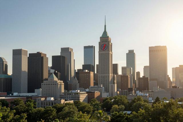
A strong heat wave sweeping Eastern Canada recorded a humidex of 44 in Montreal on Wednesday afternoon, July 1, 2026, while Quebec City reached a humidex of 42. The readings, taken as the temperature and humidity combined, place both cities near the highest values ever observed for this summer season.
The humidex, a Canadian index that blends temperature and relative humidity, is used to convey how hot the weather feels to the human body. Values in the mid‑40s are considered extreme, indicating that the air feels much hotter than the actual temperature would suggest. Both Montreal and Quebec City posted numbers that approach historical peaks for the region.
The heat wave is not limited to the two urban centres. Meteorological reports show the high‑pressure system extending across the provinces of Quebec and Ontario and now reaching the Maritime provinces. Residents from Toronto to Halifax have reported similarly elevated temperatures and humidity, although specific humidex figures for those locations have not been released.
Officials monitoring the situation note that the pattern has persisted for several days, with daytime temperatures consistently high and night‑time cooling limited by lingering moisture in the air. The combination of heat and humidity can increase the risk of heat‑related illnesses, prompting health agencies to advise people to stay hydrated and limit strenuous outdoor activity during the hottest periods.
As of the afternoon of July 1, the humidex values in Montreal and Quebec City remain at 44 and 42 respectively, marking the peak of the current wave. Weather models suggest the system could linger into the early part of next week before cooler air begins to move in from the north, potentially easing the extreme conditions that have dominated the eastern seaboard.
The ongoing heat wave continues to dominate daily life across the region, with authorities keeping a close watch on temperature trends and public health impacts as the humidex stays at near‑record levels.