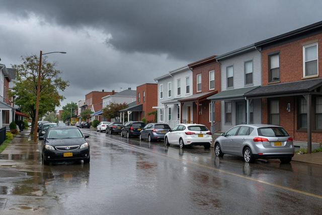
On Saturday, June 20, 2026, a brief but intense rainstorm swept through several neighborhoods in Montreal, delivering a total of precipitation that was roughly twice the amount normally recorded for the entire month of June. The downpour lasted only a few hours, yet it produced a volume of water comparable to what the city typically receives over the course of the whole month.
Meteorological observations indicated that the rainfall rate far exceeded the usual June averages for the region. While the exact measurements vary by location, the overall accumulation was consistently reported as about double the monthly norm across the affected districts.
The rapid accumulation of water led to noticeable surface runoff in streets and low‑lying areas, as the ground quickly became saturated. Residents in the impacted neighborhoods observed standing water forming in a short time, a direct result of the storm’s concentrated intensity.
City officials noted that the event was unusual for early summer in Montreal, describing it as an exceptionally strong rainstorm for the season. The high volume of rain in such a condensed period contrasted sharply with the typically moderate precipitation patterns that characterize June in the city.
Historically, June in Montreal sees moderate rainfall spread over many days, allowing the urban drainage system to manage the flow without significant disruption. The June 20 storm, however, compressed an amount of water equivalent to the monthly average into a matter of hours, testing the capacity of local waterways and drainage infrastructure.
Authorities continue to monitor the situation as water levels recede, and they are prepared to respond to any lingering effects. The event serves as a reminder of the variability in weather patterns, even during months that are generally considered mild.