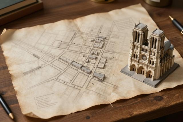
Geneviève Pronovost, a historian specializing in early Montreal, detailed on June 24, 2026 how the city’s original seven streets were deliberately laid out by Sulpician missionary François Dollier de Casson. The plan, she explained, was intended to create a straight‑forward, orthogonal grid that would channel traffic toward the site of the future Notre‑Dame cathedral, then under construction.
Dollier de Casson, recognized as Montreal’s first toponymist, applied the grid system to ensure easy access for parishioners and clergy alike. By arranging the streets at right angles, the layout provided clear, direct routes to the cathedral’s location, a design choice that set the pattern for the city’s subsequent development. The historian noted that the seven streets formed the backbone of what would become the historic core of Montreal, guiding early settlement patterns and influencing later urban planning.
The Sulpician order, which oversaw the colony’s spiritual and civic affairs, endorsed Dollier de Casson’s approach as part of a broader effort to organize the fledgling settlement. Their involvement underscored the close link between religious institutions and municipal design in the 17th‑century colony. Pronovost highlighted that the orthogonal scheme not only facilitated movement but also reflected contemporary European city‑building principles, adapted to the New World context.
Understanding the origins of these first streets offers insight into how Montreal’s layout was shaped by both practical concerns and ecclesiastical ambition. The historian’s findings reinforce the view that the city’s earliest infrastructure was purposefully crafted to serve the Notre‑Dame church, anchoring the community around a central place of worship. This early planning decision continues to echo through Montreal’s modern street network, reminding residents of the city’s foundational ties to its religious heritage.