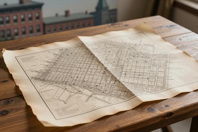
Geneviève Pronovost, a historian specializing in early Montreal, has detailed how the city’s first seven streets received their names. She attributes the naming to François Dollier de Casson, the early planner who implemented an orthogonal street layout designed to improve access to the site of the future Notre-Dame church.
Pronovost’s explanation links the naming to a broader urban plan created in the 17th century by the Sulpician missionaries. The missionaries sought a straight‑line configuration that would surround the planned cathedral, establishing a clear and direct route to the religious center. Within this framework, Dollier de Casson assigned names to the initial seven streets, embedding the functional purpose of the grid into the city’s early map.
The orthogonal arrangement was intended to facilitate movement toward the future Notre-Dame church, reflecting the importance of the cathedral in the settlement’s spatial organization. By aligning streets in a regular pattern, the design aimed to simplify travel and provide a structured environment for the growing community.
The historical context places the street naming and layout within the early development of Montreal, when the Sulpicians played a central role in shaping the settlement’s physical and spiritual landscape. Their planning priorities combined religious objectives with practical considerations for accessibility, resulting in a grid that still influences the city’s layout.
Pronovost’s findings were released on 24 June 2026, offering a concise account of how the first seven streets were deliberately named as part of a coordinated plan to serve the future cathedral. The research underscores the connection between the city’s early street network and its foundational religious institution, highlighting the lasting impact of 17th‑century planning decisions on modern Montreal.