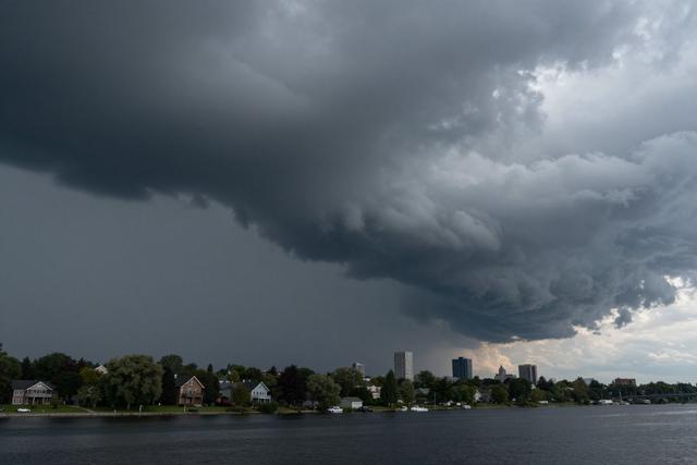
On Friday June 26, 2026, weather authorities placed a severe thunderstorm watch over parts of the South Shore of Montreal, Quebec, citing the possibility of violent thunderstorms developing later in the day.
A watch signals that atmospheric conditions are favorable for the formation of strong storms, including intense rain, lightning, and gusty winds. It differs from a warning, which is issued when such hazards are imminent or already occurring.
Violent thunderstorms often bring a combination of heavy precipitation, strong gusts, and frequent lightning. In past events, these elements have resulted in temporary power interruptions, minor road closures, and isolated damage to property.
Residents of the affected municipalities are being urged to monitor updates from local meteorological services and to keep an eye on any alerts that may be issued as the situation evolves. While no immediate danger has been reported, the potential for rapid intensification means that people should be prepared for possible disruptions.
Authorities typically recommend securing outdoor objects, postponing non‑essential travel, and staying indoors during any severe activity. Schools, businesses, and public services may adjust operations if a warning follows the watch.
The watch remains in effect for the remainder of the day, and officials will reassess the forecast throughout the afternoon. Anyone in the watch area should stay tuned to radio, television, or official online channels for the latest information.
This precautionary measure reflects the region’s commitment to public safety during periods of heightened weather risk, ensuring that communities are alerted early enough to take appropriate steps before conditions become hazardous.