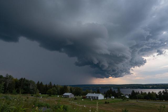
A severe thunderstorm watch has been put in place for western Quebec on the evening of Saturday, June 13, 2026. The alert covers several sectors across the region and will remain active throughout the night, prompting residents and local authorities to stay alert for possible hazardous weather.
A thunderstorm watch signals that atmospheric conditions are favorable for the development of severe storms, which may bring strong gusts, heavy rain, frequent lightning, and occasional hail. While a watch does not guarantee that any of these elements will occur, it signals a heightened risk that could affect daily activities and travel.
The watch spans multiple sectors of western Quebec, though exact boundaries have not been detailed in the current advisory. By encompassing a broad area, the watch ensures that communities throughout the western part of the province receive timely warnings should the situation evolve.
The timing of the watch aligns with the typical peak of convective activity on Saturday evenings, when daytime heating often fuels storm development. Residents can expect the highest likelihood of severe weather to materialize after sunset and continue into the early hours of Sunday.
Authorities advise people to monitor local weather updates, secure outdoor objects that could become airborne, and consider postponing nonessential travel if conditions worsen. Those working outdoors are encouraged to have a plan for shelter and to remain aware of any evolving alerts.
Meteorological services will continue to assess atmospheric data throughout the night and may upgrade the watch to a warning if storms intensify. The public is urged to stay informed through official channels and to follow any instructions issued by emergency management officials.