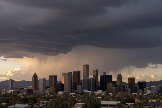
Storm risk in Phoenix, Arizona, increased on September 23, 2026 as tropical moisture from Hurricanes Polo and Odalys moved northward into the area. Meteorologists noted that the two cyclones are now channeling humid air toward the Southwest, raising the likelihood of storm activity over the desert city.
Hurricane Polo, located in the eastern Pacific, and Hurricane Odalys, situated in the Gulf of Mexico, are both carrying substantial amounts of tropical moisture. As the storms progress, atmospheric currents are directing that moisture northward, where it encounters the dry air mass that typically dominates Phoenix. The convergence of these air masses creates conditions more favorable for cloud formation and precipitation.
The arrival of this moisture has prompted an increase in the probability of thunderstorms and brief rain showers across Phoenix. Residents can expect a higher chance of storm development compared with the usual dry conditions that characterize the region during this time of year. The enhanced moisture content also raises the potential for gusty winds accompanying any convective activity.
Recent hurricanes in the broader region have demonstrated a pattern of channeling tropical moisture toward the Southwest United States. This pattern has contributed to a noticeable uptick in storm chances for Phoenix as the season progresses. Authorities continue to monitor the situation as the moisture plume advances, providing updates on any evolving weather threats for the city and surrounding areas.