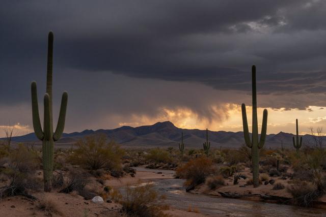
Showers and thunderstorms are forecast for Eastern Arizona on Tuesday, September 22, 2026, with the potential for outflow boundaries to move into the Phoenix Valley later in the evening. The weather shift coincides with the first day of astronomical fall across the state.
The National Weather Service has highlighted the likelihood of rain and thunderstorm activity across the eastern part of Arizona as the day progresses. Residents in that region should anticipate periods of rain, gusty winds, and lightning. Meteorologists note that the storm systems could generate outflow boundaries – pockets of cooler, denser air that surge ahead of a thunderstorm – which may travel westward toward the Phoenix metropolitan area as the evening unfolds.
Outflow boundaries can bring sudden wind shifts, brief temperature drops, and brief bouts of rain even in areas that otherwise remain dry. While the forecast does not guarantee significant precipitation for the Phoenix Valley, the possibility of these boundary effects means that evening commuters and outdoor enthusiasts should stay aware of changing conditions. Local authorities will monitor the situation and issue any necessary advisories.
The timing of the forecast aligns with the start of astronomical fall, a seasonal marker that often brings a transition in weather patterns throughout Arizona. Historically, the onset of fall can introduce more active storm tracks in the eastern mountains and can influence wind behavior across the desert valleys. As the region moves into this new season, forecasters expect the combination of cooler air aloft and lingering summer heat to produce the kind of atmospheric instability that fuels the predicted showers and thunderstorms.
Overall, residents of eastern Arizona should prepare for rain and thunderstorm activity today, while those in the Phoenix Valley are advised to watch for possible evening outflow boundaries that could bring brief weather changes as the state enters its autumn season.