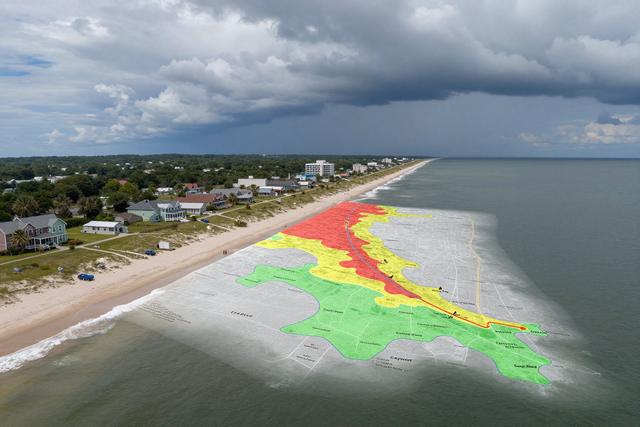
Cape May County Office of Emergency Management introduced a new interactive tool on September 16, 2026 designed to help residents and visitors understand evacuation zones ahead of possible hurricane‑related storm surge. The “Know Your Zone” map, released as part of the county’s ongoing hurricane preparedness initiative, displays designated evacuation areas across Cape May County, with particular emphasis on Zone A that encompasses the Wildwoods community.
The online map allows users to zoom in on their location and view the specific evacuation zone that applies to their address. By selecting a point on the map, individuals can see whether they fall within a zone that would require evacuation under storm surge conditions. The tool highlights Zone A, the area covering the popular Wildwoods shore, as a primary region for potential evacuation orders.
County officials said the interactive format is intended to simplify the planning process for both locals and tourists who may be unfamiliar with the county’s zoning system. By providing a visual reference, the map aims to reduce confusion during an emergency and encourage timely compliance with evacuation directives. The effort aligns with broader strategies to improve public awareness and readiness for severe weather events that affect the Atlantic coast.
The “Know Your Zone” resource is publicly available and can be accessed through the county’s emergency management channels. Users are encouraged to consult the map when preparing for hurricane season, especially as forecasts indicate an increased likelihood of storm surge in the region. Officials anticipate that the tool will serve as a practical reference point for emergency responders and the community alike.
The launch marks another step in Cape May County’s commitment to proactive disaster planning, reinforcing the message that clear, accessible information is essential for protecting lives and property when hurricanes threaten the shoreline.