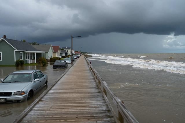
On September 26, 2026 a strong nor'easter moving up the Atlantic coast brought a combination of powerful winds and heavy rain that produced widespread flooding across New Jersey, with the greatest impact observed in coastal areas. The storm’s rapid development pushed large volumes of moisture inland, overwhelming drainage systems and causing streets, homes and public spaces to fill with water.
Residents along the shoreline reported sudden rise in water levels as wind gusts pushed surf onto roads and low‑lying neighborhoods. Many families were forced to evacuate their homes or seek higher ground as water entered basements and ground‑floor rooms. Local authorities activated emergency response measures, directing resources to assist those affected and to monitor road conditions.
A surge of videos and photographs posted to social media platforms captured the extent of the damage. Images showed streets turned into temporary rivers, vehicles stranded in ankle‑deep water, and sidewalks disappearing beneath rushing flow. The visual documentation helped officials assess the situation in real time and coordinate relief efforts.
Power outages were reported as wind‑driven debris brought down trees and utility lines. Emergency crews worked to clear blocked roadways and restore electricity where possible. While the storm continued to move northward along the coast, its immediate effects remained concentrated in the affected New Jersey communities.
Officials reminded residents to avoid flooded areas, refrain from driving through standing water, and follow updates from local emergency management agencies. The nor'easter’s passage highlighted the vulnerability of coastal zones to rapid weather changes and underscored the importance of preparedness for future events.
As the rain tapered and winds began to subside, cleanup and recovery efforts started across the impacted neighborhoods. The documented images and videos will remain a record of the storm’s impact and serve as a reference for future emergency planning.