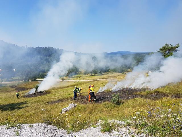
Interactive Map Tracks Active Brush Fires Across California
A new interactive map now shows all active brush fires in California in real time, providing up‑to‑date information for the public.
GMNA Los Angeles
On October 15, 2026, an interactive map began displaying every brush fire currently burning across California.
The map supplies real‑time updates, allowing the public to see the location and status of each active fire as the state regularly experiences brush‑fire incidents.