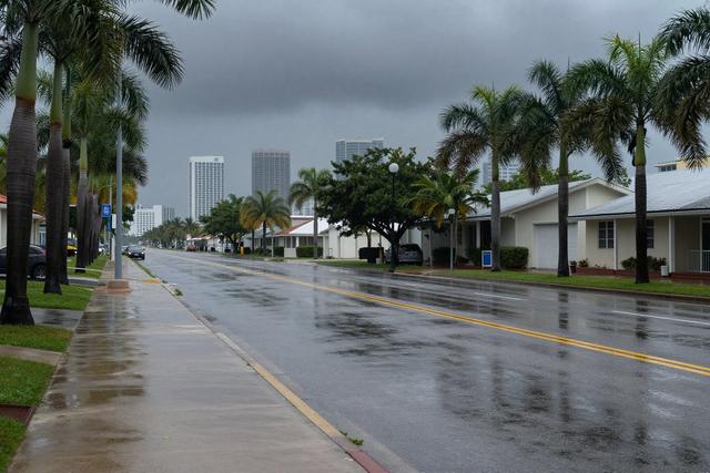
Heavy rain has dumped more than nine inches of water across portions of Pompano Beach, Cooper City and North Miami Beach since Friday, September 19, 2026. The deluge has turned streets into temporary streams and saturated the ground throughout the Fort Lauderdale metropolitan area, marking a significant weather event for the region.
Meteorologists attribute the sustained downpour to a lingering weak cold front that has drawn moist air inland from the Atlantic. While the front has generated the intense rainfall, forecasters expect it to usher in slightly drier air over the weekend, offering a brief respite after several days of continuous precipitation.
The rainfall totals recorded this week have contributed to what officials are describing as the wettest September on record for South Florida. Multiple communities across the area are reporting unusually high precipitation levels, a pattern that aligns with the broader climatic trend of record-setting rainfall for the month.
Local authorities have been monitoring water levels in real time, issuing advisories as needed to ensure public safety. Residents in the affected neighborhoods have been urged to stay alert to potential flooding in low‑lying areas and to follow any guidance from emergency management officials. As the weekend approaches, the anticipated shift to drier conditions should help reduce the immediate risk of additional flooding, though ground saturation will likely linger for several more days.
The combination of record rainfall and the approaching cold front highlights the challenges faced by South Florida during the peak of the Atlantic hurricane season, when moisture-rich systems frequently impact the region. Continued observation will determine how quickly the area can recover from the historic September rainfall event.