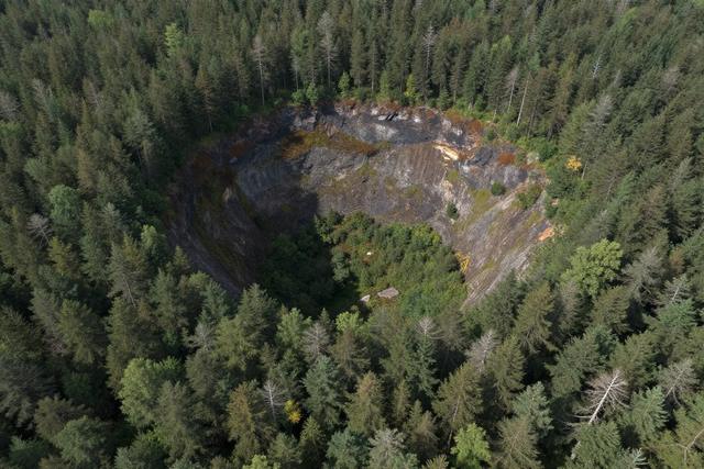
A private individual has uncovered a previously unknown meteor impact crater dating back 390 million years in Quebec’s Côte‑Nord region. Joël Lapointe, using Google Maps, noticed a circular pit that had not been documented in scientific literature and identified it as an ancient impact site.
The discovery was made in 2024 when Lapointe, while browsing satellite imagery, observed an unusual depression in the landscape. Further examination of the area’s geological features led him to conclude that the formation was the result of a meteor strike during the Devonian period. The crater had escaped detection by professional geologists and researchers until this citizen‑science observation.
The Côte‑Nord region, located in the province of Quebec, is known for its varied terrain, but the specific pit identified by Lapointe had not been recorded as an impact structure. Its age, estimated at 390 million years, places the event in a time when early fish and primitive plants were beginning to populate Earth’s waters and land.
Lapointe’s use of publicly available mapping tools highlights the potential for non‑specialists to contribute to scientific knowledge. By sharing his findings, he has prompted interest from the scientific community to verify the crater’s characteristics and assess its significance within the broader context of Devonian impact events.
The identification of the crater adds a new point of interest to Quebec’s geological record and may lead to further studies on the frequency and effects of ancient meteor impacts in the region. Researchers are expected to conduct field investigations to confirm the structure’s dimensions, composition, and any associated mineral deposits.
This case underscores the value of digital mapping resources in uncovering natural features that have remained hidden for centuries, offering fresh opportunities for scientific exploration and public engagement with Earth’s deep past.