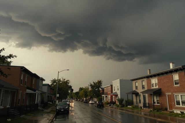
Environment Canada announced a yellow weather watch on September 2, 2026 for violent thunderstorms expected to affect the northern and western parts of the island of Montreal, Quebec. The alert targets residents and visitors in those sectors, signalling that severe weather conditions may develop and could pose a danger.
A yellow watch is the agency’s standard notification used to inform the public that the atmosphere is primed for potentially hazardous thunderstorms. While it does not guarantee that the most extreme weather will occur, it serves as a precautionary measure, urging people to stay aware of evolving conditions and to be prepared for possible impacts such as strong winds, heavy rain, hail or lightning.
The current issuance focuses on the island’s north and west areas, where meteorological models indicate a heightened likelihood of intense storm activity. The watch will remain in effect until the threat diminishes or is upgraded to a higher‑level warning should conditions worsen. Residents in the specified zones are advised to monitor local updates, keep emergency supplies accessible, and avoid unnecessary travel if the storms intensify.
Environment Canada’s decision follows its routine assessment of atmospheric data, which includes satellite imagery, radar readings and surface observations. The agency’s role is to provide timely information that helps communities respond appropriately to weather threats. By issuing the yellow watch, officials aim to reduce the risk of injury or property damage that can result from sudden, violent thunderstorms.
Authorities recommend that anyone outdoors take shelter in a sturdy building, avoid standing near tall objects, and refrain from using electronic devices that could attract lightning. Those in the affected regions should stay tuned to local radio, television and online platforms for any further advisories or upgrades to the weather alert.