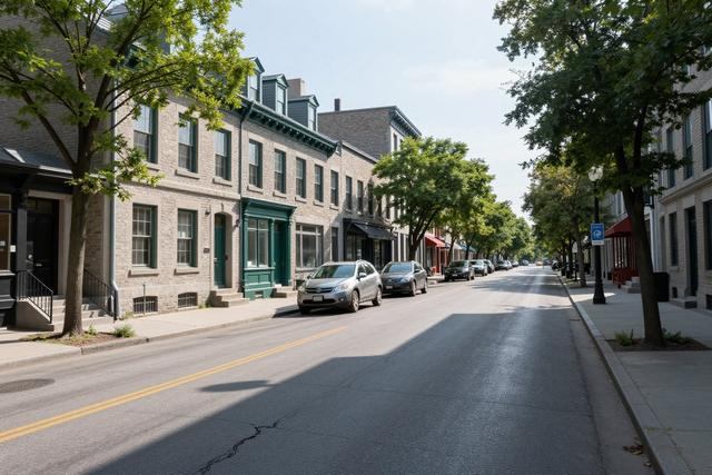
On Tuesday morning, a sharp temperature contrast was recorded along boulevard de l’Acadie, the main thoroughfare that separates the neighbourhoods of Mont‑Royal and Parc‑Extension. Sensors placed on the street side of the boulevard, which faces the densely treed Mont‑Royal, showed markedly higher readings than those on the opposite side, which is shaded by a sparse line of trees in Parc‑Extension.
The difference is linked to the amount of canopy cover on each side of the road. Mont‑Royal is home to a century‑old urban forest that blankets the area with mature trees, providing shade and cooling through evapotranspiration. In contrast, Parc‑Extension features a thin canopy, offering limited shade and allowing pavement heat to radiate more directly into the air.
These observations fit a broader pattern identified across Montreal, where urban heat islands develop in zones with extensive pavement and limited vegetation. Studies have shown that neighborhoods with abundant tree cover tend to experience lower daytime temperatures, while those lacking green space can become several degrees hotter than the city average.
The temperature gap along boulevard de l’Acadie highlights how micro‑scale variations in landscaping can create distinct microclimates within a few blocks. Residents of Mont‑Royal benefit from the cooling effect of their historic forest, whereas those in Parc‑Extension are exposed to higher heat levels that can affect comfort and energy use.
La Presse reported the findings, noting that the contrast serves as a reminder of the role that urban planning and tree‑planting initiatives play in mitigating heat stress. City officials have previously cited the need to expand green infrastructure to address rising summer temperatures, and the current data provide a concrete example of the potential impact.
The disparity observed on boulevard de l’Acadie underscores the importance of equitable distribution of tree canopy across Montreal’s neighbourhoods as the city confronts the challenges of a warming climate.