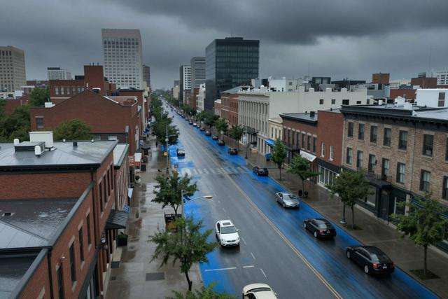
The Communauté métropolitaine de Montréal (CMM) formally asked the Government of Quebec for assistance in creating a detailed map that will identify buildings located in flood‑prone areas. The request was submitted on Tuesday, August 4, 2026, with official Soraya Martinez Ferrada representing the metropolitan community in the discussion.
City officials have pointed to a growing pattern of heavy‑rain events that have produced repeated flooding across multiple neighbourhoods. These downpours have heightened concerns about the vulnerability of residential and commercial structures, prompting the CMM to prioritize a systematic assessment of flood risk.
The appeal to the provincial government seeks technical and logistical support to develop a comprehensive mapping tool. By pinpointing at‑risk buildings, the initiative aims to provide a clearer picture of where mitigation measures may be needed. The collaboration involves sharing existing data, conducting field surveys, and integrating geographic information system (GIS) technology to produce an up‑to‑date flood‑risk inventory.
Officials say that a precise map will aid in emergency planning, inform future development decisions, and help residents understand their exposure to flood hazards. The request reflects a broader effort to improve preparedness as climate‑related weather patterns bring more intense precipitation to the region. The Quebec government’s response and the timeline for delivering the map have not been disclosed, but the CMM indicated that the project is a priority in light of recent flooding incidents.
The initiative underscores the city’s move toward proactive risk management, seeking to align municipal and provincial resources to address the challenges posed by increasingly frequent heavy‑rain events in Montreal.