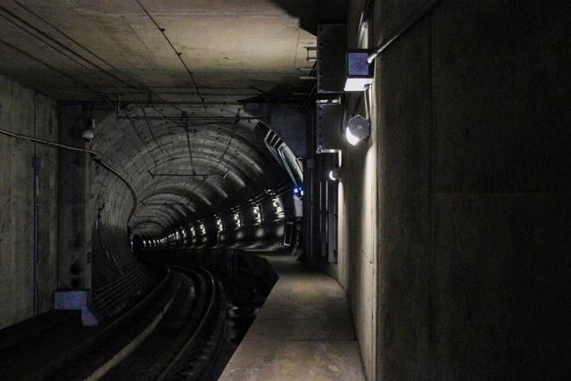
The City of Montreal released an infographic on Monday that maps the extensive network of underground infrastructure running beneath the city’s streets, which total roughly 4,000 kilometres in length. The visual data links the sheer mileage of roadways to the numerous construction sites currently visible across the metropolis, indicating that much of the surface activity is tied to work below ground.
The infographic breaks down the types of projects that occupy the subterranean space, highlighting utility corridors and transit systems as the primary components. It shows how water, gas, electricity, and communication lines intersect with subway and light‑rail tunnels, creating a layered web that requires regular maintenance, upgrades and expansion. Each category is plotted against the city’s street grid, illustrating the density of underground work in various districts.
Because the underground utilities and transit routes are interwoven with the street network, surface disruptions are frequent. The city notes that many of the visible construction zones are directly related to accessing, repairing or extending these hidden assets. Workers must excavate streets to reach the buried infrastructure, which explains the prevalence of road closures, lane reductions and temporary detours that commuters have observed in recent weeks.
Montreal’s 4,000 km of streets therefore serve as a surface indicator of a far larger, ongoing program of underground development. The city’s communication underscores that the visible construction is a necessary part of maintaining and modernising the essential services that run beneath the urban landscape, ensuring the reliability of utilities and transit for residents.
The infographic aims to provide residents with a clearer picture of why street work is so common, linking everyday disruptions to the broader effort of sustaining the city’s extensive below‑ground network.