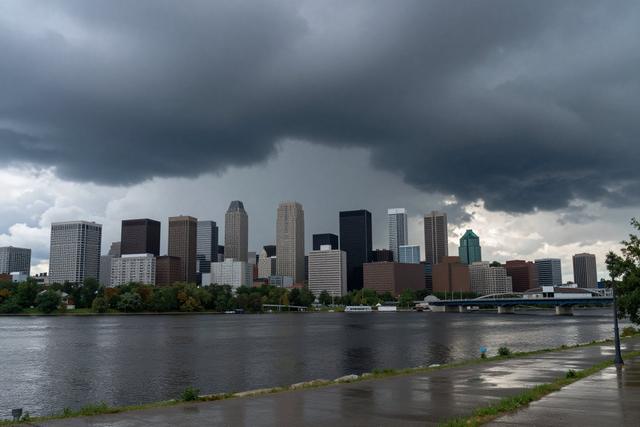
A severe thunderstorm watch has been put in place for portions of Quebec this Wednesday, June 10, 2026, covering the afternoon and evening hours. The alert signals that residents across several regions of the province should be prepared for potentially hazardous weather, including strong winds, intense rainfall, frequent lightning, and possible hail.
The watch, issued by provincial weather authorities, does not guarantee that severe storms will occur, but it indicates conditions are favorable for their development. Meteorologists note that atmospheric instability and moisture levels are high enough to support the formation of thunderstorms capable of producing damaging wind gusts and heavy downpours. The watch remains in effect until the evening, after which authorities will reassess the situation and may upgrade to a warning if storms intensify.
People living in the affected areas are advised to monitor local forecasts and stay alert for any updates. While a watch does not require immediate protective actions, it is prudent for residents to secure outdoor objects that could become projectiles, avoid travel on exposed roads if heavy rain is reported, and keep an eye on lightning activity. Those planning outdoor activities should consider postponing or moving events indoors should conditions worsen.
Emergency services and municipal authorities are on standby to respond to any incidents that may arise from the thunderstorms. The watch covers a broad swath of Quebec, encompassing urban centres, rural communities, and coastal zones, each of which may experience different impacts based on local geography. Residents are encouraged to follow guidance from local officials and to have a plan in place for rapid shelter if severe weather develops.
Authorities will continue to issue updates through weather bulletins, radio, and digital platforms throughout the afternoon and evening. The public is reminded that staying informed and prepared can reduce the risk of injury or property damage during severe weather events.