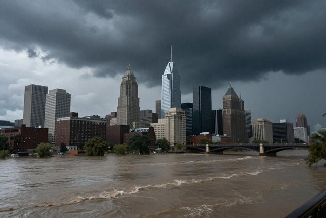
A system moving into the Philadelphia region will bring heavy rain and a heightened risk of flash flooding overnight into early Sunday morning, according to the National Weather Service. Meteorologists project between two and three inches of rainfall across the city and surrounding suburbs, with the most intense downpours expected during the late-night hours.
Forecasters indicated that thunderstorms will develop as the moisture-laden air moves across the area. The combination of strong, localized downpours and saturated ground conditions could produce rapid rises in water levels in low‑lying streets, drainage channels and small streams. Residents are being advised to monitor local weather updates and to avoid travel on roads that may become inundated.
The rain is expected to taper off as the early morning progresses, with the sun projected to break through by early Sunday afternoon. While the precipitation totals are modest compared to historic flood events, the timing of the storms—coinciding with overnight hours—raises the potential for flash‑flood impacts when visibility is reduced and many commuters are still on the road.
City officials have not announced any specific emergency measures at this time, but standard flash‑flood protocols remain in effect. Emergency management agencies typically stand ready to respond to any reports of sudden flooding, and they encourage the public to stay informed through official channels.
Overall, the forecast calls for a wet night followed by clearer conditions later in the day. Those planning outdoor activities on Sunday should consider the possibility of lingering damp surfaces and should allow extra travel time if they need to be on the road early in the morning.