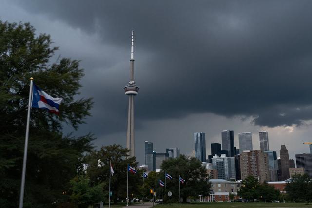
Environment and Climate Change Canada meteorologists have placed a severe thunderstorm watch over the Greater Toronto Area on July 18, 2026. The alert cites the potential for wind gusts reaching 110 kilometres per hour, rainfall totals of up to 40 millimetres, and the possibility of hail during the forecast period.
The national weather agency issues watches when atmospheric conditions suggest thunderstorms could develop hazardous characteristics. In this case, forecasters identified a combination of high moisture, instability and strong wind shear that could produce the extreme gusts and heavy precipitation outlined in the warning. Residents are advised to stay alert for rapidly changing weather and to monitor updates from local authorities and media outlets.
While the watch does not guarantee that all mentioned hazards will occur, it signals that conditions are favorable for severe weather to develop across the city and surrounding suburbs. The 110 km/h wind gust estimate places the expected maximum winds in the range of a strong gale, capable of damaging trees, power lines and unsecured objects. Rainfall of up to 40 millimetres could lead to localized flooding, especially in low‑lying areas and near streams.
Authorities in Toronto and the surrounding municipalities are preparing for the potential impacts. Emergency services are reviewing response plans, and transportation agencies are ready to address any disruptions to roadways or public transit. The public is encouraged to secure outdoor items, avoid travel on exposed routes during the peak of the storm, and seek shelter if conditions deteriorate rapidly.