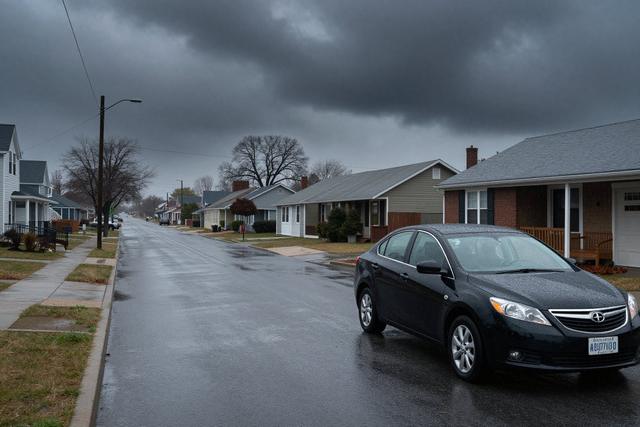
On Saturday, July 18, 2026, a series of strong thunderstorms moved across New Jersey, unleashing heavy rain that quickly drenched large portions of the state. Meteorological officials responded by issuing flash flood warnings, alerting residents to the rapid rise of water levels in low‑lying areas and along roadways.
The downpour produced drenching amounts of water, turning streets into shallow rivers and creating hazardous conditions for anyone traveling. Drivers reported standing water that made it difficult to gauge road depth, while beachgoers along the Atlantic shoreline faced sudden surges that pushed water onto sand and boardwalks. The intensity of the rain also raised concerns about the capacity of storm drains and local drainage systems to keep pace with the volume of water.
Authorities emphasized the risk of flooded roads and the potential need for water rescues. Motorists were advised to avoid travel through areas known to collect water and to seek higher ground if caught in rising floodwaters. Beach visitors were urged to stay clear of the water’s edge until conditions improve, as swift currents can develop without warning. Emergency responders remained on standby to assist anyone trapped by the fast‑moving water.
As the thunderstorms persisted into the evening, flash flood warnings remained in effect across the affected counties. Residents were reminded to monitor local updates and to take precautions until the rain subsides and water levels recede. The situation underscored the immediate danger that heavy, localized rainfall can pose, even in a state accustomed to coastal weather patterns.