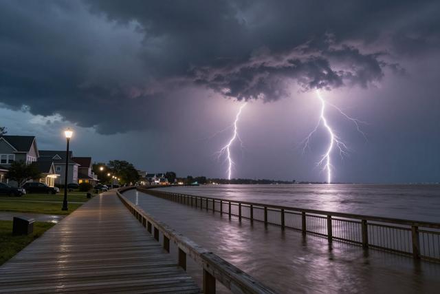
Forecasters issued flash‑flood warnings for multiple areas of New Jersey on Friday, August 28, 2026, as a line of strong thunderstorms moved across the state. The weather system brings a combination of damaging wind gusts, frequent lightning and intense rainfall, prompting officials to alert both residents and visitors of heightened flood risk.
The warning covers regions where the storms are expected to produce rapid accumulation of rain over short periods. Flash‑flood alerts are activated when heavy precipitation could overwhelm drainage systems, create fast‑moving water in streets and low‑lying areas, and pose immediate danger to people and property. The current advisory emphasizes that water levels can rise quickly, even in areas that normally experience modest rain.
Meteorologists note that the thunderstorms are capable of producing wind speeds strong enough to cause minor structural damage, such as downed branches or loose roofing material. Lightning activity is also expected to be frequent, increasing the chance of power outages and fire hazards. The combination of wind, rain, and lightning makes travel conditions hazardous, especially on exposed roadways and bridges.
Authorities advise anyone outdoors to seek shelter in sturdy buildings, avoid standing near trees or metal objects, and stay away from flooded roadways. Motorists are urged to exercise caution, reduce speed, and be prepared for sudden changes in visibility caused by heavy rain. Residents in flood‑prone neighborhoods should monitor local alerts and be ready to move to higher ground if water begins to rise.
The flash‑flood warnings remain in effect until the storm system moves out of the area and conditions improve. Updated information will be provided through local weather services and emergency channels. The public is encouraged to stay informed and follow official guidance to reduce the risk of injury or damage during the severe weather event.