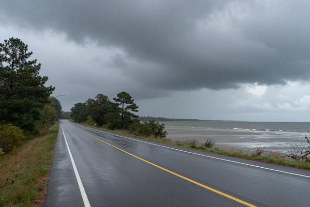
A flood watch has been issued for twelve counties in New Jersey ahead of a weather system expected to bring heavy rain and thunderstorms on Thursday, August 20, 2026. The advisory notes that the combination of intense precipitation and rapid runoff could cause quick flooding on local roads and state highways, prompting motorists to exercise caution.
The counties included in the warning span the southern and central portions of the state, with Cape May County specifically mentioned among them. Emergency management officials have highlighted the risk of water levels rising quickly in low‑lying areas and near drainage channels. The watch is in effect for the entire day on Thursday, covering the period when thunderstorms are forecast to develop and move across the region.
The National Weather Service issued the flood watch after forecasting several inches of rain within a short time frame. While the alert does not predict a flood event, it signals that conditions are favorable for water to accumulate faster than it can drain. Drivers are advised to avoid travel on routes that are prone to standing water and to stay informed of any updates from local authorities.
Residents in the affected counties are encouraged to review personal flood preparedness plans, secure outdoor items that could become hazardous in strong winds, and keep an eye on weather updates through official channels. The warning will remain in place until the threat of rapid flooding diminishes, at which point the National Weather Service may issue a cancellation or upgrade to a flood advisory if necessary.
Authorities continue to monitor the storm system as it approaches, and additional information will be provided as the situation evolves. The flood watch serves as a precautionary measure to reduce the risk of accidents and damage caused by sudden water accumulation on transportation routes.