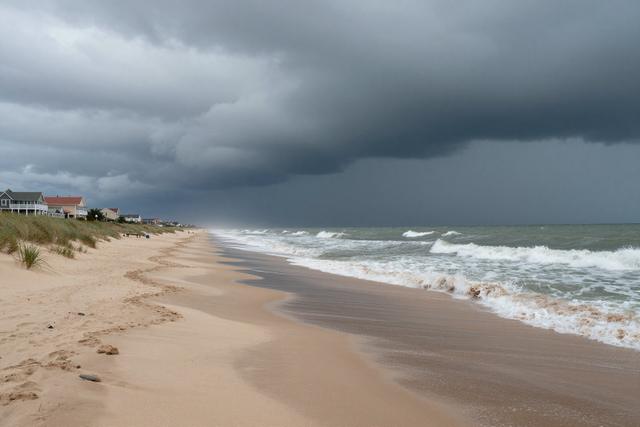
Heavy rain poured across several areas of New Jersey on Monday, August 3, 2026, leaving up to four inches of precipitation on the ground by the afternoon. The storm affected locations throughout the state, with Cape May County noted among the regions receiving the highest totals.
The rain fell in two main bursts, first in the morning and again in the early afternoon, as a weather system moved through the area. Meteorologists identified the system as the source of the intense rainfall, which quickly accumulated to measurable depths in a short period.
Local officials warned that the sudden downpour could disrupt travel and outdoor activities. Roads in the affected counties may experience temporary pooling, and drivers are advised to exercise caution. Residents planning events or outings were urged to monitor conditions and consider postponement or relocation.
Emergency services remained on standby throughout the day, ready to respond to any incidents that might arise from the wet conditions. While no widespread flooding reports have been confirmed, the volume of water collected in a few hours underscores the potential for localized impacts.
The weather pattern that produced the rain is expected to move eastward later in the week, reducing the likelihood of further heavy precipitation in the immediate area. However, the accumulated moisture may linger, keeping humidity levels elevated for several days.
Overall, the Monday rain event marked a notable weather occurrence for New Jersey, delivering a measurable amount of rain in a brief window and prompting residents to adjust travel plans and outdoor schedules accordingly.