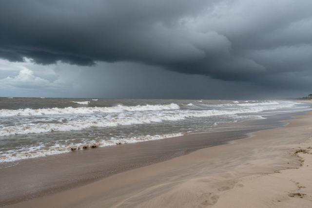
New Jersey weather officials issued tornado and flood warnings on Friday, July 28, 2026, as a line of severe thunderstorms moved across the state, delivering heavy rain to coastal and inland communities. The warnings cover several counties, with particular emphasis on low‑lying coastal areas where flood risk is heightened.
The tornado warning applies to zones where rotating storms have been detected, prompting officials to advise residents to remain alert for rapidly developing wind hazards. Simultaneously, the flood warning reflects the expectation of significant rainfall accumulations that could overwhelm drainage systems and cause water levels to rise quickly.
Authorities emphasized that the combined threat of tornado‑capable storms and flash flooding creates dangerous conditions for both residents and visitors. They urged people to monitor official updates, secure outdoor items, and avoid travel through flooded roadways. Emergency management teams are on standby to respond to any incidents that may arise from the severe weather.
Tourist destinations along the Jersey Shore are included in the advisory, as the heavy rain and potential for strong gusts could affect beach activities and waterfront businesses. Officials reminded visitors to follow any local directives, stay informed through weather alerts, and seek shelter if tornado signs appear.
The weather pattern responsible for the storms is expected to move eastward later in the day, but officials warned that residual rain could continue to pose flood risks in affected areas. Residents in vulnerable neighborhoods were told to prepare for possible water intrusion and to have emergency supplies ready.
Overall, the coordinated warnings aim to protect public safety as the state confronts a period of heightened weather volatility. Officials will continue to assess conditions and update warnings as necessary throughout the afternoon and evening.