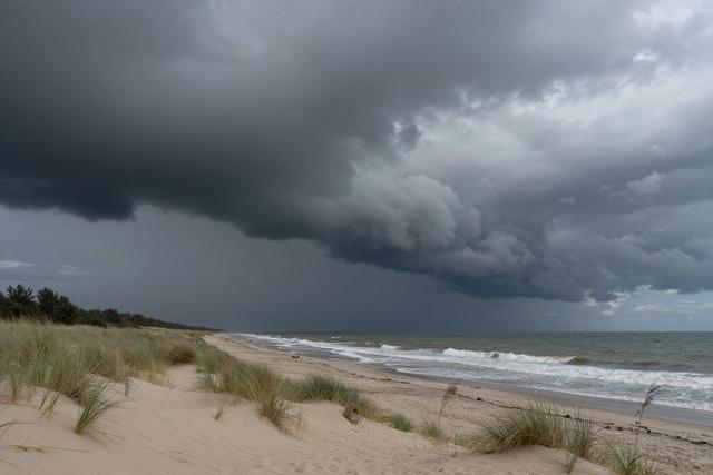
Tornado watches and flash‑flood warnings were issued for Central and South New Jersey on Saturday, July 18, 2026, as a combination of wildfire smoke drifting from Canada and intense thunderstorms created hazardous conditions across the region.
State emergency agencies announced the watches and warnings, noting that the atmospheric setup supports the development of strong, rotating storms capable of producing tornadoes, while heavy rain associated with the same systems raises the risk of rapid flooding in low‑lying areas. The agencies cautioned that flash‑flood warnings can be triggered by short, intense bursts of rain that overwhelm drainage, especially in neighborhoods near streams and coastal inlets.
The smoke from distant Canadian wildfires has already reduced air quality, adding a hazy backdrop to the storm‑laden sky. Residents are being asked to limit outdoor activities until conditions improve, as the combination of reduced visibility and strong winds can pose additional danger for those outside. Beachgoers along the Atlantic shoreline are advised to stay alert for sudden changes in wind and water levels, as the storms may bring higher surf and rapid water rise.
Authorities emphasized the importance of staying informed through official channels, urging people to monitor weather alerts and heed any evacuation or shelter‑in‑place orders that may follow. Motorists traveling through the affected counties are also reminded to exercise caution, as wet roads combined with smoke‑filled air can increase the likelihood of accidents.
The weather outlook for the remainder of the day remains unsettled, with forecasters expecting the thunderstorms to persist and the smoke plume to linger. Emergency responders are on standby to address any incidents that may arise from tornadic activity, flash flooding, or complications related to the poor air quality. Residents are encouraged to prepare for possible power interruptions and to have essential supplies ready in case conditions deteriorate further.