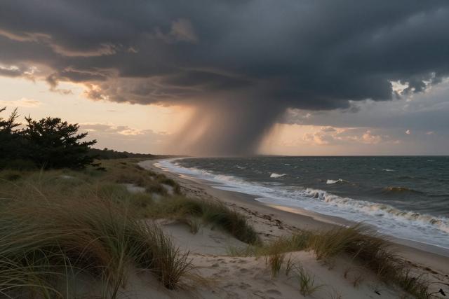
The National Weather Service confirmed that a waterspout, classified as a tornado, formed in Delaware Bay and briefly made landfall near Cape May Point on July 22, 2026. The vortex originated over the waters of Delaware Bay as part of the storm system that moved through the area on Tuesday, and it touched down for a short period on the shoreline of Cape May County before dissipating.
Meteorologists identified the event as a direct result of the Tuesday storm system, which has been responsible for a series of tornadoes across New Jersey in recent days. The waterspout is being recorded as part of that broader outbreak, adding a water‑based tornado to the list of phenomena linked to the same atmospheric conditions.
The National Weather Service noted that waterspouts, while typically short‑lived, can still pose hazards to marine traffic and nearby coastal areas. In this instance, the brief landfall did not produce any reported injuries or significant property damage, according to the information currently available.
Officials emphasized that the recent outbreak has produced multiple tornadoes across the state, reflecting the strength of the prevailing weather pattern. The waterspout observed off Cape May Point represents one of the few such events to reach the shoreline in New Jersey, underscoring the range of threats associated with the ongoing storm system.
From a meteorological perspective, waterspouts develop when rotating columns of air over warm water encounter sufficient wind shear and instability. The Tuesday storm system created the necessary environment for these dynamics to occur, leading to the formation of the vortex that briefly touched land.
The National Weather Service continues to monitor the region as the larger storm system moves inland, and residents in coastal communities are advised to stay informed through official weather updates.