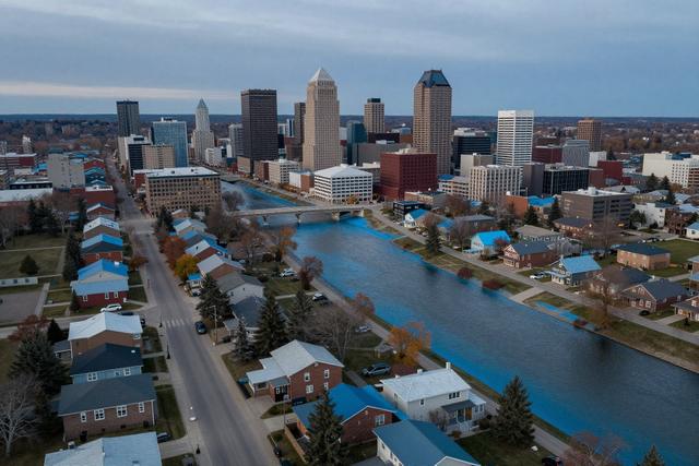
Statistics Canada released a report in September 2026 that shows a large number of residential properties in Winnipeg are located within zones classified as high flood‑hazard areas. The assessment was part of a broader national review that mapped flood risk across several Canadian cities and highlighted Winnipeg among those with significant exposure.
The study defines high flood‑hazard zones as areas where the probability of inundation exceeds the threshold set by national standards used by emergency‑management agencies. Although the report does not give an exact count for Winnipeg, it notes that many homes fall within these identified zones, indicating that a notable portion of the city’s housing stock could be vulnerable to future flooding events.
These findings arrive as the city continues to address infrastructure upgrades and flood‑mitigation strategies, including recent investments in storm‑water management and community‑resilience planning. Municipal officials have previously stressed the importance of accurate risk mapping for land‑use planning, building‑code updates and insurance considerations. The new data from Statistics Canada may therefore inform future policy decisions and help prioritize areas for protective measures.
Homeowners in the identified high‑risk neighbourhoods may see implications for property‑insurance premiums and could be encouraged to adopt flood‑ready practices, such as elevating utilities and securing valuable items. The report also underscores the broader challenge of climate‑related hazards facing urban centres across Canada, prompting calls for coordinated action among federal, provincial and municipal authorities.
Overall, the Statistics Canada assessment adds a data‑driven perspective to ongoing discussions about how Winnipeg and other cities can better prepare for the increasing likelihood of flood events, reinforcing the need for continued investment in risk reduction and community awareness.