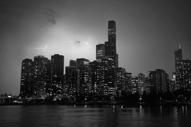
The National Weather Service has placed a flash flood watch over the Chicago metropolitan area, beginning at 10 p.m. on Friday, August 14, 2026, and extending into Saturday morning. The watch is issued in response to forecasted thunderstorms that could produce torrential rain capable of generating flash flooding.
Meteorologists project rainfall intensities that may top three inches per hour as the storm system moves across the region. Such rates can quickly exceed the capacity of urban drainage networks, creating standing water on streets and in low‑lying neighborhoods. The flash flood watch signals that conditions are favorable for rapid flooding, though a warning will be issued only if flooding becomes imminent.
The alert follows a series of rain events earlier in the week that have already saturated soils and elevated water levels in local streams and culverts. With the ground already near capacity, any additional precipitation is expected to produce swift runoff and increase the likelihood of flash flood pockets.
Areas with poor drainage, such as low‑lying streets, underpasses and parks, are most vulnerable to sudden water accumulation. Transportation corridors could experience temporary closures or reduced speeds if water depths exceed safe limits. Emergency responders remain on standby to address any incidents that may arise.
Residents are urged to monitor local forecasts and heed any flash flood warnings that may be issued later in the night or early Saturday. Motorists should avoid traveling through flooded roadways and seek alternative routes if conditions deteriorate. Property owners in flood‑prone zones are advised to protect valuables and secure outdoor items.
The National Weather Service will continue to track the evolving situation and provide updates through its official channels. Should rainfall intensify beyond projected levels, a flash flood warning could be issued to alert the public of immediate danger.