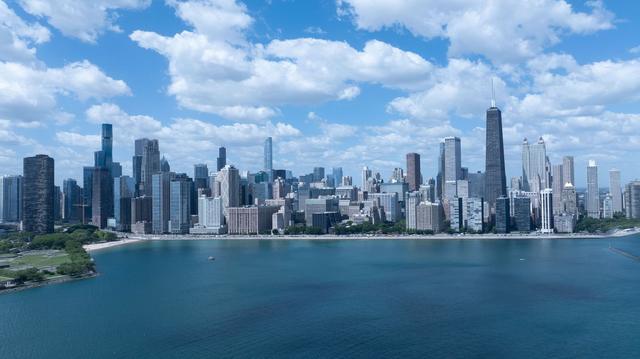
A high-pressure system moving into the region is set to deliver cooler air and clearer skies to Chicago for the week of August 23 through August 29, 2026. Meteorologists note that the system is shifting the prevailing weather patterns, offering a respite after a summer marked by frequent damaging storms and dangerous heat levels.
The arrival of the high-pressure ridge follows a period in which the city experienced a series of severe thunderstorms that caused property damage and prompted warnings across the metropolitan area. Residents and officials have been dealing with elevated temperatures that pushed the heat index into hazardous ranges, prompting health advisories and cooling center operations.
With the new system in place, forecasters anticipate a reduction in thunderstorm activity and a moderation of temperatures. The clearer weather is expected to improve visibility and lower the risk of flash flooding that had been a concern during the earlier storm events. Local authorities are preparing to adjust their response plans in line with the anticipated improvement in conditions.
The shift in atmospheric pressure is also expected to influence humidity levels, making outdoor conditions more comfortable for commuters and outdoor workers. While the cooler air does not signal the end of summer, it provides a temporary break from the extreme heat that has strained public health resources.
City services that were on heightened alert during the storm-heavy period are likely to scale back emergency deployments as the weather stabilizes. The forecasted improvement aligns with broader regional patterns, as the high-pressure system extends its influence across the Midwest, bringing similar relief to neighboring communities.
Overall, the upcoming week promises a noticeable change in Chicago's weather, with the high-pressure system delivering the cooler, clearer conditions that residents have been awaiting after a challenging summer.