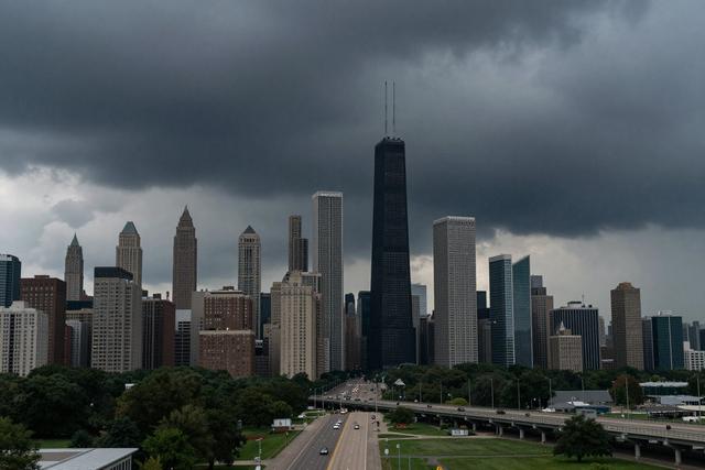
The NBC 5 Storm Team, together with the National Weather Service, has issued a forecast indicating showers and non‑severe thunderstorms will develop along and south of Interstate 80 this Wednesday afternoon and into the evening. The weather system is tied to a cold front moving through the Chicago metropolitan area, which is expected to trigger scattered to isolated precipitation.
The cold front is projected to dip across the region during the afternoon, bringing the potential for rain along the corridor of I‑80 and extending into the Kankakee area. Meteorologists anticipate that the bulk of activity will be confined to the areas directly under the front, with the strongest likelihood of showers and brief thunderstorms occurring south of the highway.
Both agencies note that the storms are not expected to reach severe criteria. The primary concerns are rain and gusty winds associated with the cold front, but no significant hail, tornadoes, or damaging wind gusts are forecast. This pattern aligns with the typical summer weather setup for the Chicago area, where a moving front often sparks short‑lived thunderstorms.
The forecast forms part of the regular summer monitoring conducted by the NBC 5 Storm Team and the National Weather Service. Residents in the affected corridors are advised to stay informed of any updates as the front advances, though the overall outlook remains limited to rain and non‑severe storm activity for Wednesday afternoon and evening.