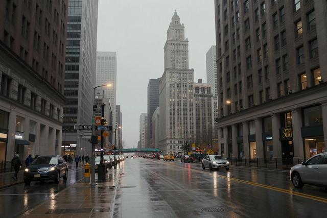
Heavy rain and storms have persisted across Chicago, delivering more than two inches of precipitation and ushering in cooler temperatures. Meteorologists project scattered showers throughout both the morning and afternoon on Monday, continuing the wet spell that has dominated the region.
The city has been under a series of rain events for several consecutive days. Over the weekend, rainfall totals exceeded two inches in many locations, adding to already saturated soils and swollen waterways. The recent downpours have been characterized by strong, brief thunderstorms that moved quickly across the metropolitan area.
Current forecasts indicate that the rain will not intensify to the levels seen earlier in the week, but intermittent showers are expected to develop after sunrise and persist into the early evening. Temperatures are expected to remain below the seasonal average for this time of year, providing a noticeable chill compared with the warm conditions earlier in September.
Residents are advised to remain cautious while traveling, as wet road surfaces and reduced visibility could increase the risk of accidents. The lingering moisture also raises the potential for localized flooding in low‑lying neighborhoods that experienced significant runoff during the weekend storms.
City officials continue to monitor river levels and drainage systems as the precipitation accumulates. No immediate emergency declarations have been issued, but authorities are prepared to respond should water levels rise further. The weather outlook for the remainder of the week suggests a gradual return to drier conditions, though isolated showers may still occur as the atmosphere stabilizes.
Chicago’s weather pattern this week reflects a broader regional trend of unsettled spring‑like conditions, with the Midwest experiencing similar bouts of heavy rain and cooler air masses. As the city moves past the current wet phase, officials and residents alike will be watching for signs of recovery in both the streets and the local waterways.