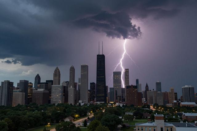
A severe thunderstorm watch has been issued for the far‑southern portion of the NBC 5 viewing area. The watch includes Kankakee and Iroquois counties in Illinois and Newton and Jasper counties in Indiana, and remains in effect until 7 p.m. on Thursday, August 13, 2026. Forecasts call for heavy rain and an increase in storm chances across the Chicago region during that period.
The watch covers four counties in total, straddling the Illinois‑Indiana border. Residents of Kankakee and Iroquois counties, as well as those in Newton and Jasper counties, are advised to monitor weather updates as conditions develop. The timing of the watch aligns with an expected line of storms moving eastward out of Indiana, a system that is projected to reach the Chicago area later in the week.
A thunderstorm watch indicates that atmospheric conditions are favorable for the development of severe storms, though it does not guarantee that such storms will occur. Authorities typically issue a watch when a combination of moisture, instability, and wind shear suggests the potential for heavy rain, strong winds, or hail. In this case, the watch emphasizes the likelihood of heavy rainfall and an elevated probability of storm activity.
Meteorologists note that the line of storms advancing from Indiana is part of a broader pattern affecting the region. As the system progresses, the far‑southern portion of the NBC 5 viewing area will experience the most direct impact, with the watch remaining active until early evening. Residents in the affected counties are encouraged to stay informed through local weather broadcasts and to be prepared for possible rapid changes in weather conditions.
The watch will expire at 7 p.m. Thursday, after which officials will assess whether additional advisories or warnings are needed based on the evolving weather situation.