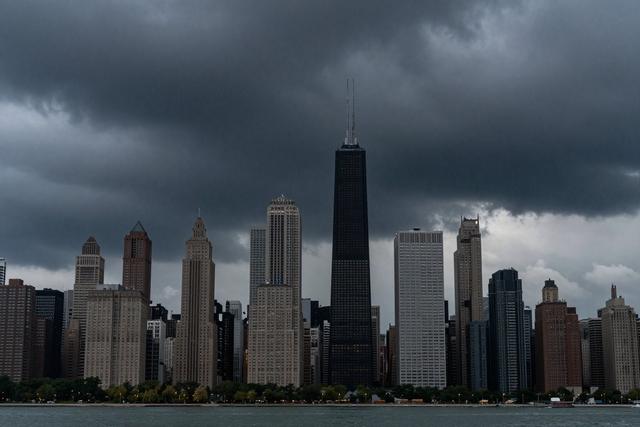
National Weather Service meteorologist Kevin Doom warned that a storm system will move into the Chicago area this evening, bringing scattered showers and thunderstorms. The system is expected to affect the region from the night of August 5 through early Thursday, August 6, with rainfall totals that could reach up to one inch.
Current conditions across Chicago are humid, cloudy, and warm. Those conditions are set to shift as the incoming system arrives, bringing a period of rain and thunderstorm activity later this afternoon and into the evening. Despite the precipitation, the National Weather Service has not issued any active watches or warnings for the area at this time.
The forecast calls for the rain to be spread out rather than concentrated, resulting in scattered showers rather than a widespread downpour. Thunderstorms are also anticipated, but the outlook does not indicate any severe weather criteria that would trigger alerts. Residents can expect the rain to begin in the early evening and continue through the night, tapering off by early Thursday morning.
The approaching moisture will likely provide a brief respite from the current heat, though temperatures are still expected to remain warm. The combination of humidity and cloud cover will persist as the storm passes, potentially making conditions feel muggy even as the rain falls. Those traveling later in the evening should be aware of possible reduced visibility and slick road surfaces, especially in areas where rainfall accumulates near the one-inch forecast maximum.
Kevin Doom emphasized that the lack of watches or warnings means the weather should remain within normal expectations for a summer storm in the region. The public is advised to stay informed of any updates from the National Weather Service as the system progresses.