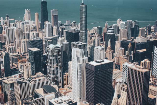
A line of thunderstorms, some of which could become strong or severe, is forecast to develop across the Chicago metropolitan area this evening, according to the latest weather outlook.
Radar imagery captured at 11 a.m. showed showers beginning to form over several Chicago suburbs. At the same time, storm activity was observed moving through nearby Milwaukee, Wisconsin, prompting forecasters to anticipate additional thunderstorm development later in the day.
The National Weather Service noted that isolated storm cells could appear between 2 p.m. and 3 p.m., following the morning showers. Those cells are expected to merge or intensify as the evening progresses, potentially producing stronger weather conditions after dark.
The forecast area includes the city of Chicago, its surrounding suburbs, and extends to the Milwaukee region. Residents throughout these locations should expect frequent lightning, heavy rain, and gusty winds as the storms move eastward.
Meteorologists highlighted that the combination of daytime heating and existing moisture contributed to the early‑day showers and set the stage for the evening thunderstorm line. The timing aligns with typical late‑summer convective patterns that often produce brief but intense periods of rain and wind.
Overall, the weather picture for Friday night points to a wet and potentially disruptive evening across the Chicago area, with the possibility of strong or severe thunderstorms developing after the early‑afternoon isolated storm activity.
The anticipated thunderstorm activity is expected to persist into the night hours, with the most intense wind gusts projected to occur after sunset, according to the forecast.