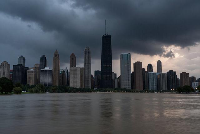
The NBC 5 Storm Team warns that a series of thunderstorms will move into the Chicago area Friday night, bringing heavy rain, cooler temperatures, and a risk of localized flooding. Iisha Scott of the team says the system is expected to continue through the weekend.
The storms are part of an approaching weather system that typically brings precipitation as fall begins. Residents can expect rainfall to intensify after sunset, with the potential for accumulation that may overwhelm drainage in low‑lying neighborhoods. Temperatures are expected to fall noticeably across the city as the front moves in.
Cooler air behind the front will lower temperatures compared with the milder conditions earlier in the day. The change may affect outdoor plans and could make travel more difficult, especially on roads prone to standing water.
Officials advise drivers to allow extra time and to stay alert for possible road closures or delays. Those living near rivers, streams, or low‑lying areas are asked to monitor local alerts for signs of flooding. The storm’s impact is expected to diminish after Saturday, but lingering rain may keep conditions unsettled into Sunday.
The anticipated rainfall could affect commuter routes, including highways and the CTA network, as water collects on roadways and tracks. Drivers are urged to reduce speed in affected zones, while transit riders may encounter delays if tracks become submerged.
Residents are encouraged to clear gutters and check that sump pumps are operational before the storm arrives. Property owners in flood‑prone districts should review any existing flood insurance and consider temporary safeguards for valuables.